First topographical carving

Okay so explain to me how the tiff file works. Why do some tiff files look right, like this

and then others look like this when I import them

both have file extensions .tif

On the USGS website, I select the top right download option for GeoTiff. Is this the wrong download?
image

So tif is just a picture format, the first one is the one you need because the shade indicates the height, that second one is just a regular map.

You want the 3DEP products, those are all like your first pic.

2 Likes

For those who just want a simple terrain STL, this site does all the work for you.

https://jthatch.com/Terrain2STL/

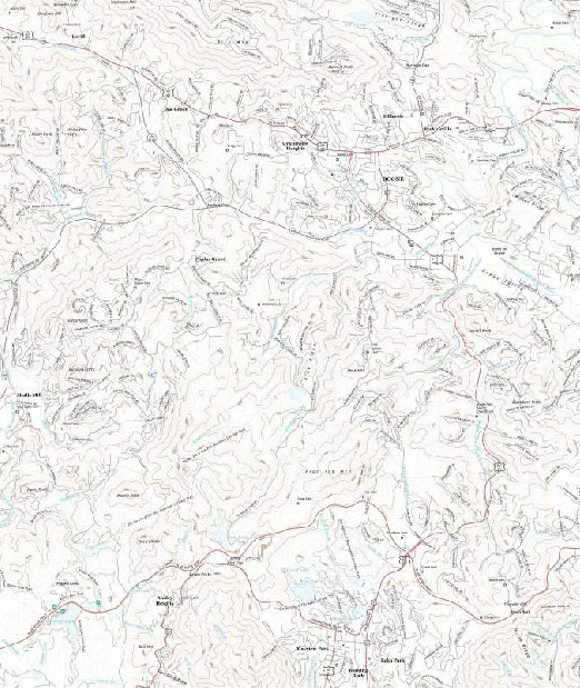
Find the place on earth you want, adjust the size of the red box to cover the area you want, play with exaggerating height, lowering large water bodies and generate the STL. Download and preview in something like Repetier. I import the STL into VCarve and go from there.

1 Like

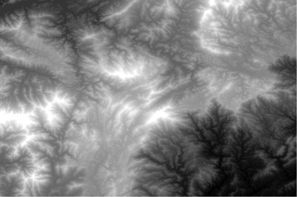
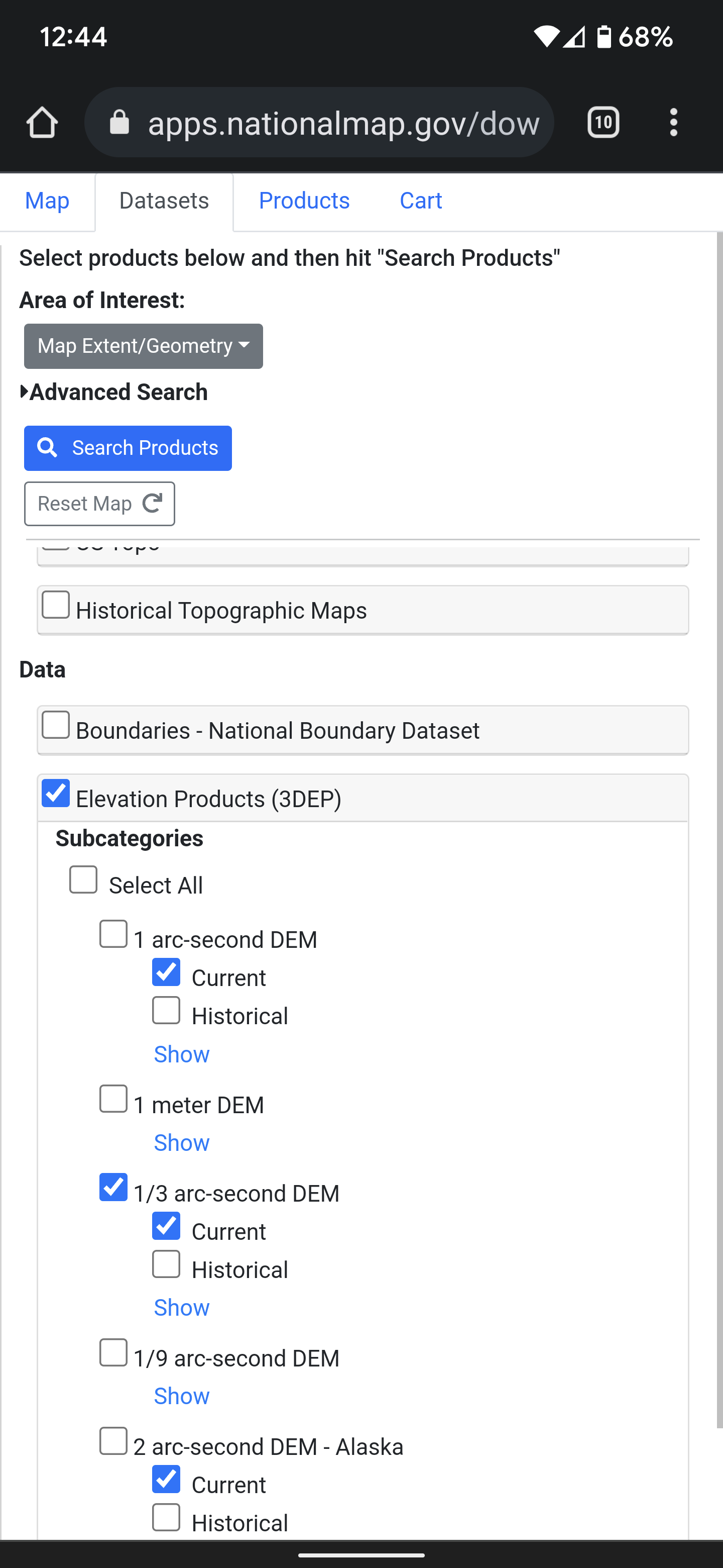
Yeah, that one has 90m resolution, there’s also https://touchterrain.geol.iastate.edu/ which has 10m resolution and the method above gets you down to 1m resolution. Depends what you need.

2 Likes